Footpath by the River Rother
Introduction
The photograph on this page of Footpath by the River Rother by Andrew Hill as part of the Geograph project.
The Geograph project started in 2005 with the aim of publishing, organising and preserving representative images for every square kilometre of Great Britain, Ireland and the Isle of Man.

There are currently over 7.5m images from over 14,400 individuals and you can help contribute to the project by visiting https://www.geograph.org.uk
Footpath by the River Rother
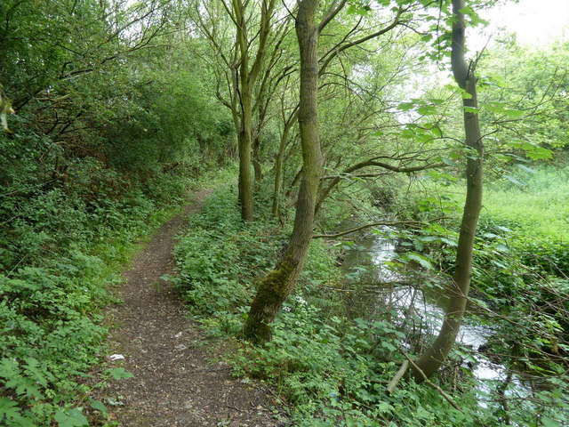
Image: © Andrew Hill Taken: 27 May 2011
A secluded looking spot, although the trees on the left conceal the site of the extensive former Clay Cross Pipe Works, and there is a railway to the right.
Images are licensed for reuse under creativecommons.org/licenses/by-sa/2.0
Image Location
Latitude
53.176283
Longitude
-1.401651