Scottish Ambulance Service Helicopter
Introduction
The photograph on this page of Scottish Ambulance Service Helicopter by Hazel Hambidge as part of the Geograph project.
The Geograph project started in 2005 with the aim of publishing, organising and preserving representative images for every square kilometre of Great Britain, Ireland and the Isle of Man.

There are currently over 7.5m images from over 14,400 individuals and you can help contribute to the project by visiting https://www.geograph.org.uk
Scottish Ambulance Service Helicopter
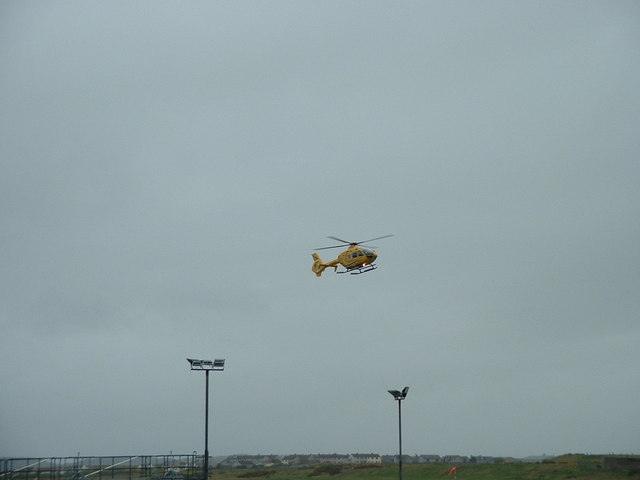
Image: © Hazel Hambidge Taken: 19 Apr 2011
On final approach to Port Adhair Steòrnabhaigh (Stornoway Airport).
Images are licensed for reuse under creativecommons.org/licenses/by-sa/2.0
Image Location
Latitude
58.215099
Longitude
-6.324095