Studland, Spaceship Earth
Introduction
The photograph on this page of Studland, Spaceship Earth by Mike Faherty as part of the Geograph project.
The Geograph project started in 2005 with the aim of publishing, organising and preserving representative images for every square kilometre of Great Britain, Ireland and the Isle of Man.

There are currently over 7.5m images from over 14,400 individuals and you can help contribute to the project by visiting https://www.geograph.org.uk
Studland, Spaceship Earth
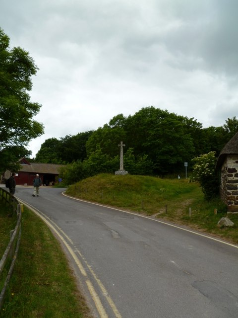
Image: © Mike Faherty Taken: 27 May 2011
Cross on a green near Image The faces show different aspects of human, animal and botanical activity, with Christian symbolism and pre-Norman decoration. http://www.waymarking.com/waymarks/WM54CA_Studland_Cross_Studland_Isle_of_Purbeck_Dorset
Images are licensed for reuse under creativecommons.org/licenses/by-sa/2.0
Image Location
Latitude
50.641189
Longitude
-1.949885