Path, Aberdelghy Wood, Derriaghy (1)
Introduction
The photograph on this page of Path, Aberdelghy Wood, Derriaghy (1) by Albert Bridge as part of the Geograph project.
The Geograph project started in 2005 with the aim of publishing, organising and preserving representative images for every square kilometre of Great Britain, Ireland and the Isle of Man.

There are currently over 7.5m images from over 14,400 individuals and you can help contribute to the project by visiting https://www.geograph.org.uk
Path, Aberdelghy Wood, Derriaghy (1)
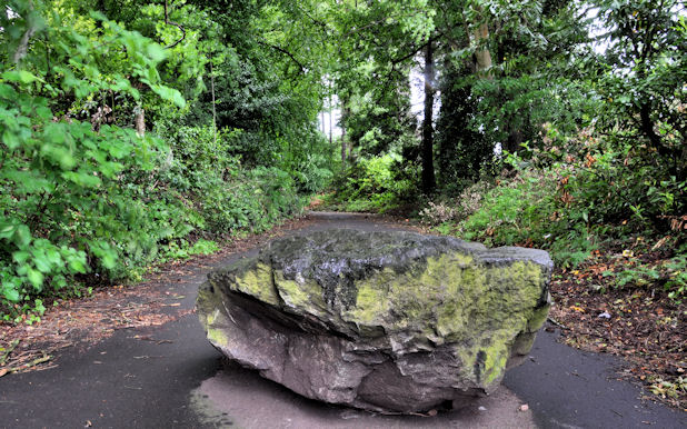
Image: © Albert Bridge Taken: 28 May 2011
The northern end of the path, at the back of Derriaghy stationImage, is blocked by this boulder.
Images are licensed for reuse under creativecommons.org/licenses/by-sa/2.0
Image Location
Latitude
54.541379
Longitude
-6.0179