Bellingham Green, SE6
Introduction
The photograph on this page of Bellingham Green, SE6 by Malc McDonald as part of the Geograph project.
The Geograph project started in 2005 with the aim of publishing, organising and preserving representative images for every square kilometre of Great Britain, Ireland and the Isle of Man.

There are currently over 7.5m images from over 14,400 individuals and you can help contribute to the project by visiting https://www.geograph.org.uk
Bellingham Green, SE6
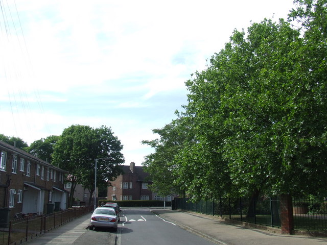
Image: © Malc McDonald Taken: 25 May 2011
Bellingham Green is a hexagonal-shaped road around an open space in the centre of Bellingham Estate in South East London. Bellingham Estate was built by the London County Council in the period between the two World Wars, to tackle a serious shortage of housing in London at the time.
Images are licensed for reuse under creativecommons.org/licenses/by-sa/2.0
Image Location
Latitude
51.431076
Longitude
-0.025165