Lane and valley of Smithy Brook
Introduction
The photograph on this page of Lane and valley of Smithy Brook by Andrew Hill as part of the Geograph project.
The Geograph project started in 2005 with the aim of publishing, organising and preserving representative images for every square kilometre of Great Britain, Ireland and the Isle of Man.

There are currently over 7.5m images from over 14,400 individuals and you can help contribute to the project by visiting https://www.geograph.org.uk
Lane and valley of Smithy Brook
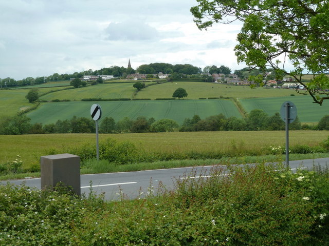
Image: © Andrew Hill Taken: 26 May 2011
Looking across the start of the lane to Spinkhill, with the village in view in the next square across the valley of Smithy Brook.
Images are licensed for reuse under creativecommons.org/licenses/by-sa/2.0
Image Location
Latitude
53.293926
Longitude
-1.313893