Path to Old Penygarn
Introduction
The photograph on this page of Path to Old Penygarn by Jaggery as part of the Geograph project.
The Geograph project started in 2005 with the aim of publishing, organising and preserving representative images for every square kilometre of Great Britain, Ireland and the Isle of Man.

There are currently over 7.5m images from over 14,400 individuals and you can help contribute to the project by visiting https://www.geograph.org.uk
Path to Old Penygarn
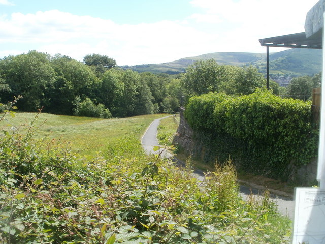
Image: © Jaggery Taken: 27 May 2011
A path heads south away from the Yew Tree Italian Restaurant http://www.geograph.org.uk/photo/2431149 Trevethin.
Images are licensed for reuse under creativecommons.org/licenses/by-sa/2.0
Image Location
Latitude
51.710333
Longitude
-3.039118