Path junction, St Cadoc's churchyard
Introduction
The photograph on this page of Path junction, St Cadoc's churchyard by Jaggery as part of the Geograph project.
The Geograph project started in 2005 with the aim of publishing, organising and preserving representative images for every square kilometre of Great Britain, Ireland and the Isle of Man.

There are currently over 7.5m images from over 14,400 individuals and you can help contribute to the project by visiting https://www.geograph.org.uk
Path junction, St Cadoc's churchyard
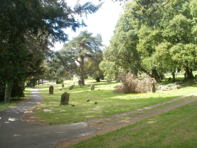
Image: © Jaggery Taken: 27 May 2011
The churchyard occupies a large site, more than 200 metres by 200 metres at its widest, on the north side of Penygarn Road, between Trevethin and the community of St Cadocs, NE Pontypool. The church http://www.geograph.org.uk/photo/2430897 is about 100 metres away, ahead.
Images are licensed for reuse under creativecommons.org/licenses/by-sa/2.0
Image Location


Leaflet Map data © OpenStreetMap
Latitude
51.711245
Longitude
-3.037691