North side of St Cadoc's church, Trevethin
Introduction
The photograph on this page of North side of St Cadoc's church, Trevethin by Jaggery as part of the Geograph project.
The Geograph project started in 2005 with the aim of publishing, organising and preserving representative images for every square kilometre of Great Britain, Ireland and the Isle of Man.

There are currently over 7.5m images from over 14,400 individuals and you can help contribute to the project by visiting https://www.geograph.org.uk
North side of St Cadoc's church, Trevethin
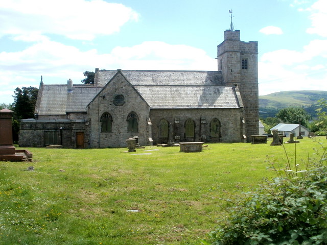
Image: © Jaggery Taken: 27 May 2011
Viewed from Folly Lane. The church is at the SW edge of a site containing a large graveyard. The site is roughly 230 metres west to east and 200 metres north to south. An information board states that the church dates from the 12th century. It was Grade II listed in 1962.
Images are licensed for reuse under creativecommons.org/licenses/by-sa/2.0
Image Location
Latitude
51.712131
Longitude
-3.039159