Harcourt House, Bromley
Introduction
The photograph on this page of Harcourt House, Bromley by Malc McDonald as part of the Geograph project.
The Geograph project started in 2005 with the aim of publishing, organising and preserving representative images for every square kilometre of Great Britain, Ireland and the Isle of Man.

There are currently over 7.5m images from over 14,400 individuals and you can help contribute to the project by visiting https://www.geograph.org.uk
Harcourt House, Bromley
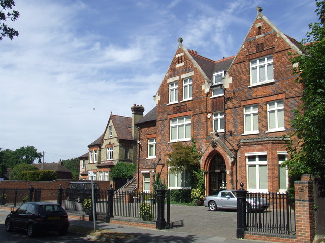
Image: © Malc McDonald Taken: 25 May 2011
Harcourt House was built in Victorian times as a family home. Between 1908 and 1940, however, it was used as a school before becoming offices for the Red Cross during the Second World War. The house's garden is occasionally opened to the public. More information can be found on the Freda's Garden website http://www.fredasgarden.co.uk/
Images are licensed for reuse under creativecommons.org/licenses/by-sa/2.0
Image Location
Latitude
51.411389
Longitude
0.006198