Chimneystack, Rhondda Heritage Park, Trehafod
Introduction
The photograph on this page of Chimneystack, Rhondda Heritage Park, Trehafod by Jaggery as part of the Geograph project.
The Geograph project started in 2005 with the aim of publishing, organising and preserving representative images for every square kilometre of Great Britain, Ireland and the Isle of Man.

There are currently over 7.5m images from over 14,400 individuals and you can help contribute to the project by visiting https://www.geograph.org.uk
Chimneystack, Rhondda Heritage Park, Trehafod
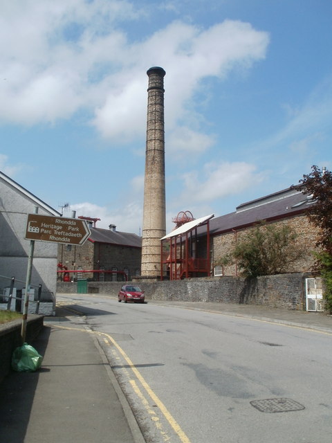
Image: © Jaggery Taken: 6 May 2011
Viewed along Coedcae Road. The heritage park site was formerly Lewis Merthyr colliery.
Images are licensed for reuse under creativecommons.org/licenses/by-sa/2.0
Image Location
Latitude
51.610518
Longitude
-3.387773