Hut Lane and the start of a footpath
Introduction
The photograph on this page of Hut Lane and the start of a footpath by Andrew Hill as part of the Geograph project.
The Geograph project started in 2005 with the aim of publishing, organising and preserving representative images for every square kilometre of Great Britain, Ireland and the Isle of Man.

There are currently over 7.5m images from over 14,400 individuals and you can help contribute to the project by visiting https://www.geograph.org.uk
Hut Lane and the start of a footpath
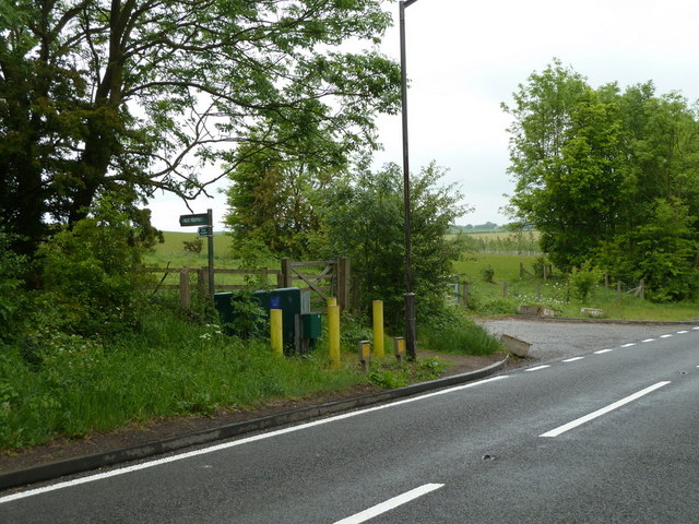
Image: © Andrew Hill Taken: 26 May 2011
The lane heads southwest towards Spinkhill from the A618. The path leads to open fields with new tree plantings towards the M1.
Images are licensed for reuse under creativecommons.org/licenses/by-sa/2.0
Image Location
Latitude
53.315047
Longitude
-1.297944