Brereton Sidings Signal Box
Introduction
The photograph on this page of Brereton Sidings Signal Box by Mick Malpass as part of the Geograph project.
The Geograph project started in 2005 with the aim of publishing, organising and preserving representative images for every square kilometre of Great Britain, Ireland and the Isle of Man.

There are currently over 7.5m images from over 14,400 individuals and you can help contribute to the project by visiting https://www.geograph.org.uk
Brereton Sidings Signal Box
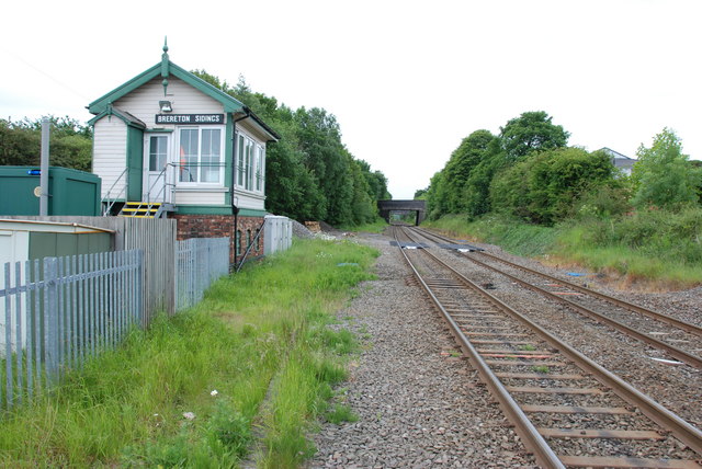
Image: © Mick Malpass Taken: 27 May 2011
Looking from Rugeley Station towards Hednesford.
Images are licensed for reuse under creativecommons.org/licenses/by-sa/2.0
Image Location
Latitude
52.754286
Longitude
-1.937284