Peter Pond, nr Crathorne
Introduction
The photograph on this page of Peter Pond, nr Crathorne by Paul Buckingham as part of the Geograph project.
The Geograph project started in 2005 with the aim of publishing, organising and preserving representative images for every square kilometre of Great Britain, Ireland and the Isle of Man.

There are currently over 7.5m images from over 14,400 individuals and you can help contribute to the project by visiting https://www.geograph.org.uk
Peter Pond, nr Crathorne
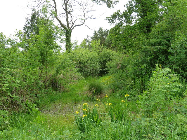
Image: © Paul Buckingham Taken: 25 May 2011
Shown on the map as a small blob of blue, this pond is extremely overgrown and, no doubt due to the recent lack of rain, well nigh dried up
Images are licensed for reuse under creativecommons.org/licenses/by-sa/2.0
Image Location


Leaflet Map data © OpenStreetMap
Latitude
54.465185
Longitude
-1.303401