Path doubles back
Introduction
The photograph on this page of Path doubles back by Peter Barr as part of the Geograph project.
The Geograph project started in 2005 with the aim of publishing, organising and preserving representative images for every square kilometre of Great Britain, Ireland and the Isle of Man.

There are currently over 7.5m images from over 14,400 individuals and you can help contribute to the project by visiting https://www.geograph.org.uk
Path doubles back
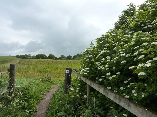
Image: © Peter Barr Taken: 26 May 2011
Footpath follows a spinney, crosses a vestige of a stream then turns 180 degrees.A new plantation lies ahead, amid fields of broad beans. Many of the fields here have a broad band of set-aside, good for wild life, as wild flowers will grow to provide food for birds and insects. It is also good for the walker. Full marks to the local farmers.
Images are licensed for reuse under creativecommons.org/licenses/by-sa/2.0
Image Location
Latitude
53.055874
Longitude
-1.027185