Broad beans, Epperstone
Introduction
The photograph on this page of Broad beans, Epperstone by Peter Barr as part of the Geograph project.
The Geograph project started in 2005 with the aim of publishing, organising and preserving representative images for every square kilometre of Great Britain, Ireland and the Isle of Man.

There are currently over 7.5m images from over 14,400 individuals and you can help contribute to the project by visiting https://www.geograph.org.uk
Broad beans, Epperstone
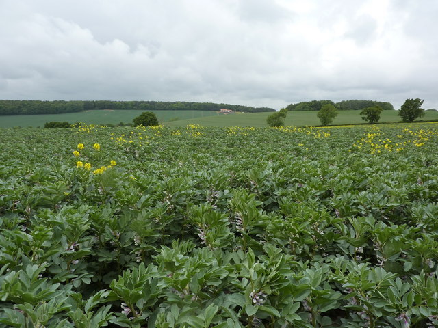
Image: © Peter Barr Taken: 26 May 2011
Farmland north of Epperstone; Park Farm is in the dip between the bean field and the house on the slope.
Images are licensed for reuse under creativecommons.org/licenses/by-sa/2.0
Image Location
Latitude
53.047942
Longitude
-1.046756