Nup End near Knebworth
Introduction
The photograph on this page of Nup End near Knebworth by Jack Hill as part of the Geograph project.
The Geograph project started in 2005 with the aim of publishing, organising and preserving representative images for every square kilometre of Great Britain, Ireland and the Isle of Man.

There are currently over 7.5m images from over 14,400 individuals and you can help contribute to the project by visiting https://www.geograph.org.uk
Nup End near Knebworth
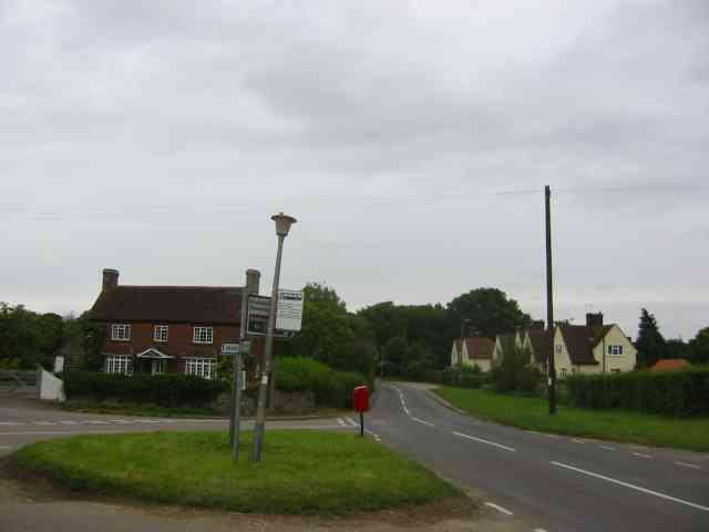
Image: © Jack Hill Taken: 4 Jul 2005
The houses on the right have just been tarted up. {could be Council property ? }
Images are licensed for reuse under creativecommons.org/licenses/by-sa/2.0
Image Location


Leaflet Map data © OpenStreetMap
Latitude
51.86514
Longitude
-0.222332