MacRosty Park
Introduction
The photograph on this page of MacRosty Park by Martin Addison as part of the Geograph project.
The Geograph project started in 2005 with the aim of publishing, organising and preserving representative images for every square kilometre of Great Britain, Ireland and the Isle of Man.

There are currently over 7.5m images from over 14,400 individuals and you can help contribute to the project by visiting https://www.geograph.org.uk
MacRosty Park
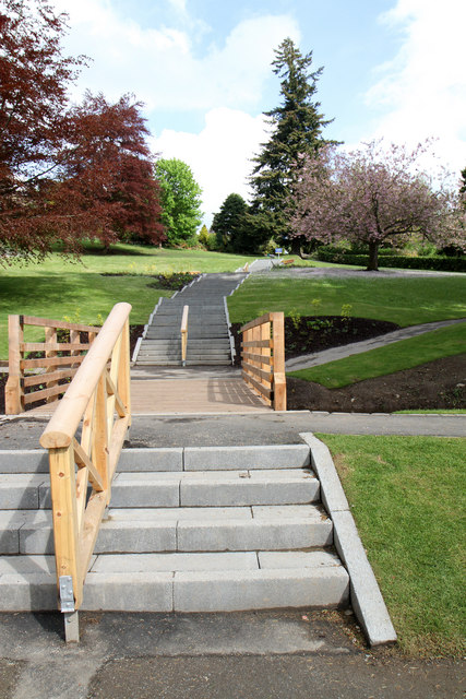
Image: © Martin Addison Taken: 6 May 2011
Newly built steps and bridge across the mill lade. All part of the park regeneration scheme that began in 2010.
Images are licensed for reuse under creativecommons.org/licenses/by-sa/2.0
Image Location
Latitude
56.379041
Longitude
-3.849761