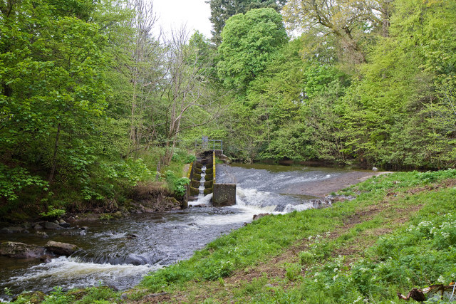
Weir On The Turret Burn
Introduction
The photograph on this page of Weir On The Turret Burn by Martin Addison as part of the Geograph project.
The Geograph project started in 2005 with the aim of publishing, organising and preserving representative images for every square kilometre of Great Britain, Ireland and the Isle of Man.
There are currently over 7.5m images from over 14,400 individuals and you can help contribute to the project by visiting https://www.geograph.org.uk

Image: © Martin Addison Taken: 6 May 2011
Located at the northern end of MacRosty Park, the weir was used to divert some of the flow of the Turret Burn along a mill lade - out of shot to the right. The lade powered a mill in the park itself and two more downstream. With the mills long since gone, the lade has silted up and no longer carries a flow. As part of a park regeneration scheme begun in 2010 it is planned to restore the flow along the lade through the park to the area of the car park, returning the water to the Turret Burn via underground pipe. I presume the structure on the left is a form of Salmon Ladder - it looks like that will need some repairs too as the Turret Burn has broken through the concrete wall.

