River Rhondda downstream from Lower Eirw Bridge
Introduction
The photograph on this page of River Rhondda downstream from Lower Eirw Bridge by Jaggery as part of the Geograph project.
The Geograph project started in 2005 with the aim of publishing, organising and preserving representative images for every square kilometre of Great Britain, Ireland and the Isle of Man.

There are currently over 7.5m images from over 14,400 individuals and you can help contribute to the project by visiting https://www.geograph.org.uk
River Rhondda downstream from Lower Eirw Bridge
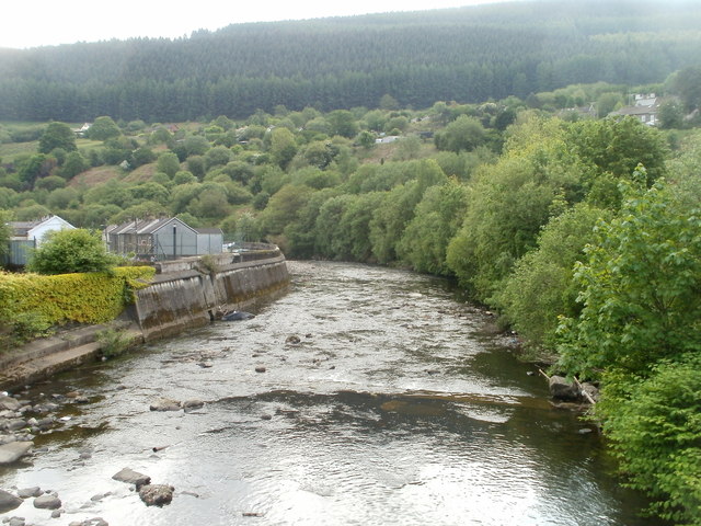
Image: © Jaggery Taken: 6 May 2011
The view south from the Grade II listed bridge. http://www.geograph.org.uk/photo/2428814 http://www.geograph.org.uk/photo/2428856 to the view upstream.
Images are licensed for reuse under creativecommons.org/licenses/by-sa/2.0
Image Location
Latitude
51.609671
Longitude
-3.383415