Hartfield Road/B2110, Forest Row
Introduction
The photograph on this page of Hartfield Road/B2110, Forest Row by John Baker as part of the Geograph project.
The Geograph project started in 2005 with the aim of publishing, organising and preserving representative images for every square kilometre of Great Britain, Ireland and the Isle of Man.

There are currently over 7.5m images from over 14,400 individuals and you can help contribute to the project by visiting https://www.geograph.org.uk
Hartfield Road/B2110, Forest Row
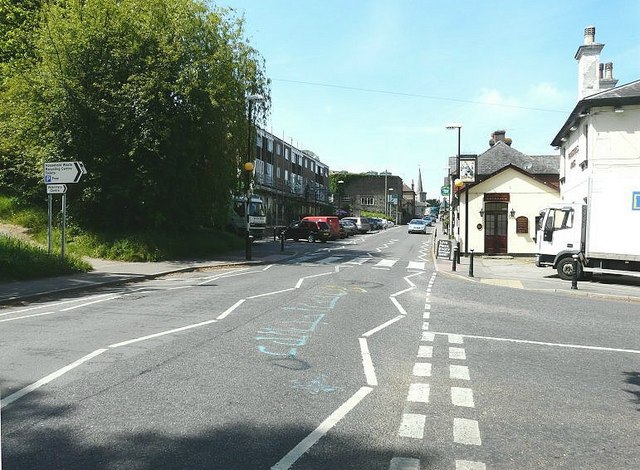
Image: © John Baker Taken: 4 May 2011
Taken from its junction with Station Road. The flat roof building on the left of the road was clad in scaffolding presumably for remedial work to be carried out while the spire in the far distance is that of Holy Trinity Church.
Images are licensed for reuse under creativecommons.org/licenses/by-sa/2.0
Image Location
Latitude
51.097509
Longitude
0.033572