Steep dip to Newtown
Introduction
The photograph on this page of Steep dip to Newtown by Chris as part of the Geograph project.
The Geograph project started in 2005 with the aim of publishing, organising and preserving representative images for every square kilometre of Great Britain, Ireland and the Isle of Man.

There are currently over 7.5m images from over 14,400 individuals and you can help contribute to the project by visiting https://www.geograph.org.uk
Steep dip to Newtown
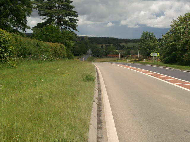
Image: © Chris Taken: 26 May 2011
The A4103 Hereford to Worcester a busy trunk roads heads down the deep dip before entering the village of Newtown which comes to a crossroads with the A417
Images are licensed for reuse under creativecommons.org/licenses/by-sa/2.0
Image Location
Latitude
52.093557
Longitude
-2.577396