Cottages on the Greenside Road, Glenridding
Introduction
The photograph on this page of Cottages on the Greenside Road, Glenridding by Karl and Ali as part of the Geograph project.
The Geograph project started in 2005 with the aim of publishing, organising and preserving representative images for every square kilometre of Great Britain, Ireland and the Isle of Man.

There are currently over 7.5m images from over 14,400 individuals and you can help contribute to the project by visiting https://www.geograph.org.uk
Cottages on the Greenside Road, Glenridding
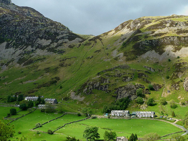
Image: © Karl and Ali Taken: 22 May 2011
These terraces below The Rake were built for workers at the former Greenside Lead Mine a little further up the valley. A zoom shot from Keldas across the dale.
Images are licensed for reuse under creativecommons.org/licenses/by-sa/2.0
Image Location
Latitude
54.545685
Longitude
-2.961937