Tombstone Lane
Introduction
The photograph on this page of Tombstone Lane by Derek Harper as part of the Geograph project.
The Geograph project started in 2005 with the aim of publishing, organising and preserving representative images for every square kilometre of Great Britain, Ireland and the Isle of Man.

There are currently over 7.5m images from over 14,400 individuals and you can help contribute to the project by visiting https://www.geograph.org.uk
Tombstone Lane
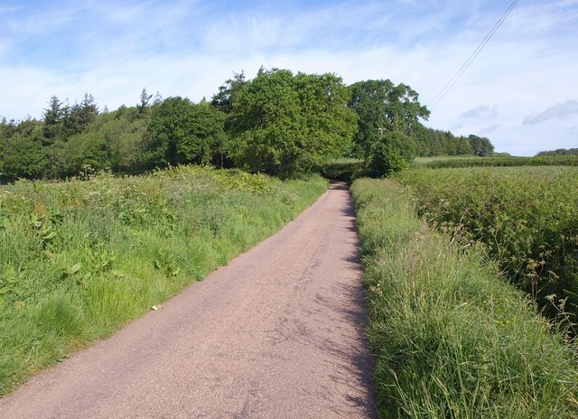
Image: © Derek Harper Taken: 25 May 2011
The lane leads away from Ducksmoor Cross between low banks and fields to run along the north edge of Ducksmoor Plantation.
Images are licensed for reuse under creativecommons.org/licenses/by-sa/2.0
Image Location
Latitude
50.90685
Longitude
-3.532582