Old Furnace houses
Introduction
The photograph on this page of Old Furnace houses by Jaggery as part of the Geograph project.
The Geograph project started in 2005 with the aim of publishing, organising and preserving representative images for every square kilometre of Great Britain, Ireland and the Isle of Man.

There are currently over 7.5m images from over 14,400 individuals and you can help contribute to the project by visiting https://www.geograph.org.uk
Old Furnace houses
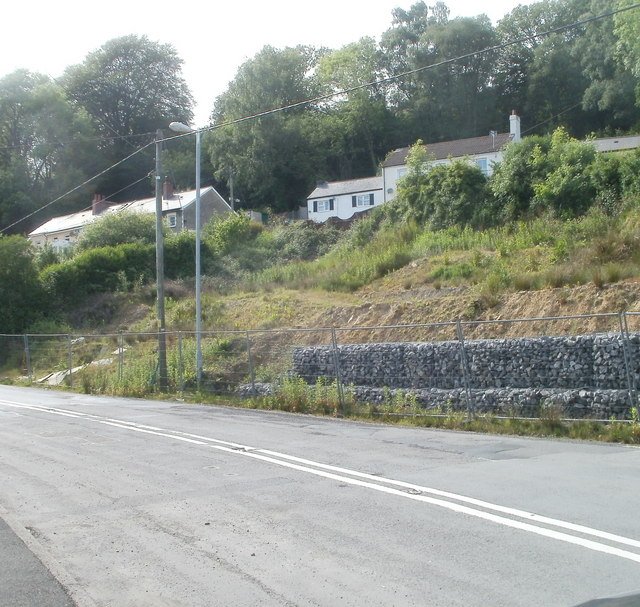
Image: © Jaggery Taken: 25 May 2011
Houses set above Crumlin Road in the small hamlet of Old Furnace, to the west of Pontypool. Rows of stones in wire frames keep the roadside bank in place.
Images are licensed for reuse under creativecommons.org/licenses/by-sa/2.0
Image Location
Latitude
51.697553
Longitude
-3.060529