Blocked-off track along Trosnant Brook, Pontypool
Introduction
The photograph on this page of Blocked-off track along Trosnant Brook, Pontypool by Jaggery as part of the Geograph project.
The Geograph project started in 2005 with the aim of publishing, organising and preserving representative images for every square kilometre of Great Britain, Ireland and the Isle of Man.

There are currently over 7.5m images from over 14,400 individuals and you can help contribute to the project by visiting https://www.geograph.org.uk
Blocked-off track along Trosnant Brook, Pontypool
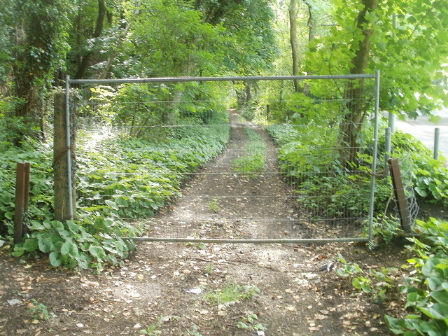
Image: © Jaggery Taken: 25 May 2011
Metal fencing prevents access to a track on the south side of Crumlin Road.
Images are licensed for reuse under creativecommons.org/licenses/by-sa/2.0
Image Location
Latitude
51.69668
Longitude
-3.057615