Chapel at Tingewick Cemetery
Introduction
The photograph on this page of Chapel at Tingewick Cemetery by David Hillas as part of the Geograph project.
The Geograph project started in 2005 with the aim of publishing, organising and preserving representative images for every square kilometre of Great Britain, Ireland and the Isle of Man.

There are currently over 7.5m images from over 14,400 individuals and you can help contribute to the project by visiting https://www.geograph.org.uk
Chapel at Tingewick Cemetery
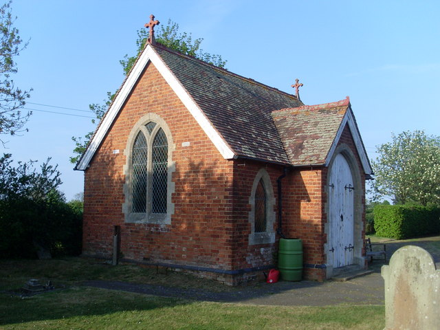
Image: © David Hillas Taken: 25 Apr 2011
Situated in Water Stratford Road, this chapel is on the northern edge of Tingewick Cemetery. Its postcode is MK18 4NU.
Images are licensed for reuse under creativecommons.org/licenses/by-sa/2.0
Image Location
Latitude
51.992167
Longitude
-1.051273