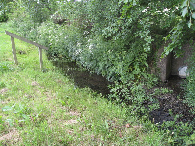
Steps down to the brook
Introduction
The photograph on this page of Steps down to the brook by Colin Vosper as part of the Geograph project.
The Geograph project started in 2005 with the aim of publishing, organising and preserving representative images for every square kilometre of Great Britain, Ireland and the Isle of Man.
There are currently over 7.5m images from over 14,400 individuals and you can help contribute to the project by visiting https://www.geograph.org.uk

Image: © Colin Vosper Taken: 25 May 2011
It is difficult to see, but the wooden structure is a handrail beside wooden steps set in the bank and lead down to the brook. First thoughts might suggest that the steps were to help children get down easily into the brook for a paddle. The clue to the likely answer is the field drainage outlet shown on the right of the picture. So on second thoughts, the steps down with the wooden handrail must be to enable workmen to safely get down into the brook to clear any blockage to the drain to help avoid a back-up of water and possible flooding issues in the field. Image The steps might be something to do with Health and Safety issue for the workmen.

