Changing agriculture near Peninerine
Introduction
The photograph on this page of Changing agriculture near Peninerine by Mary and Angus Hogg as part of the Geograph project.
The Geograph project started in 2005 with the aim of publishing, organising and preserving representative images for every square kilometre of Great Britain, Ireland and the Isle of Man.

There are currently over 7.5m images from over 14,400 individuals and you can help contribute to the project by visiting https://www.geograph.org.uk
Changing agriculture near Peninerine
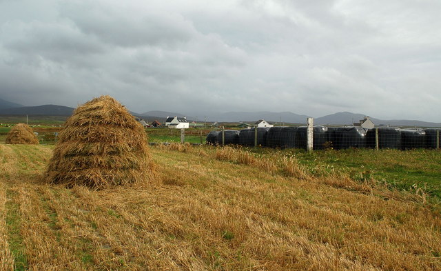
Image: © Mary and Angus Hogg Taken: 13 Sep 2006
Haystacks and roll bales - part of the small change in South Uist farming, much of it geared towards preserving a fragile and rare ecosystem.
Images are licensed for reuse under creativecommons.org/licenses/by-sa/2.0
Image Location
Latitude
57.293642
Longitude
-7.405646