Houstain's House on Landscore Lane
Introduction
The photograph on this page of Houstain's House on Landscore Lane by David Smith as part of the Geograph project.
The Geograph project started in 2005 with the aim of publishing, organising and preserving representative images for every square kilometre of Great Britain, Ireland and the Isle of Man.

There are currently over 7.5m images from over 14,400 individuals and you can help contribute to the project by visiting https://www.geograph.org.uk
Houstain's House on Landscore Lane
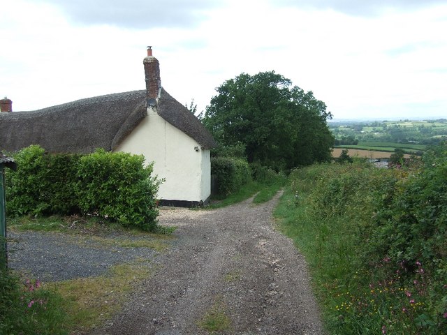
Image: © David Smith Taken: 24 May 2011
The lane drops from the woods on East Hill. Beyond the house it is not regularly used by vehicles.
Images are licensed for reuse under creativecommons.org/licenses/by-sa/2.0
Image Location
Latitude
50.769339
Longitude
-3.23779