Boythorpe Road - houses and chip shop
Introduction
The photograph on this page of Boythorpe Road - houses and chip shop by Andrew Hill as part of the Geograph project.
The Geograph project started in 2005 with the aim of publishing, organising and preserving representative images for every square kilometre of Great Britain, Ireland and the Isle of Man.

There are currently over 7.5m images from over 14,400 individuals and you can help contribute to the project by visiting https://www.geograph.org.uk
Boythorpe Road - houses and chip shop
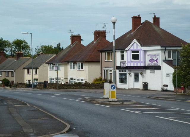
Image: © Andrew Hill Taken: 23 May 2011
Looking along the road past the junction with Clarkson Avenue to the right.
Images are licensed for reuse under creativecommons.org/licenses/by-sa/2.0
Image Location
Latitude
53.225342
Longitude
-1.43407