Southern edge of Libanus Primary School, Blackwood
Introduction
The photograph on this page of Southern edge of Libanus Primary School, Blackwood by Jaggery as part of the Geograph project.
The Geograph project started in 2005 with the aim of publishing, organising and preserving representative images for every square kilometre of Great Britain, Ireland and the Isle of Man.

There are currently over 7.5m images from over 14,400 individuals and you can help contribute to the project by visiting https://www.geograph.org.uk
Southern edge of Libanus Primary School, Blackwood
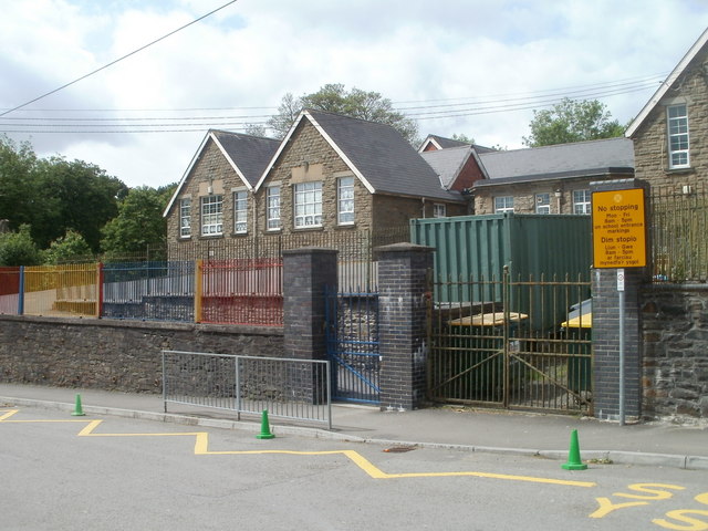
Image: © Jaggery Taken: 24 May 2011
The school http://www.geograph.org.uk/photo/2425798 occupies a site 110 metres long by 50 metres wide on the west side of Libanus Road.
Images are licensed for reuse under creativecommons.org/licenses/by-sa/2.0
Image Location
Latitude
51.659406
Longitude
-3.194091