Cycle route, footpath and bridleway, Wainfelin, Pontypool
Introduction
The photograph on this page of Cycle route, footpath and bridleway, Wainfelin, Pontypool by Jaggery as part of the Geograph project.
The Geograph project started in 2005 with the aim of publishing, organising and preserving representative images for every square kilometre of Great Britain, Ireland and the Isle of Man.

There are currently over 7.5m images from over 14,400 individuals and you can help contribute to the project by visiting https://www.geograph.org.uk
Cycle route, footpath and bridleway, Wainfelin, Pontypool
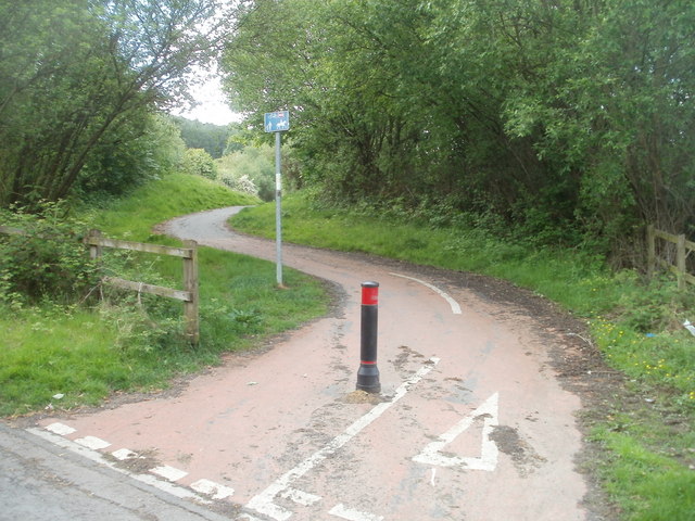
Image: © Jaggery Taken: 10 May 2011
Viewed across Elled Road, about 50 metres south of the Little Crown Inn. http://www.geograph.org.uk/photo/2425452 The sign indicates that the path is a footpath, bridleway and cycle route (part of National Cycle Network route 492).
Images are licensed for reuse under creativecommons.org/licenses/by-sa/2.0
Image Location
Latitude
51.707507
Longitude
-3.053526