Farmland near the A494
Introduction
The photograph on this page of Farmland near the A494 by David Medcalf as part of the Geograph project.
The Geograph project started in 2005 with the aim of publishing, organising and preserving representative images for every square kilometre of Great Britain, Ireland and the Isle of Man.

There are currently over 7.5m images from over 14,400 individuals and you can help contribute to the project by visiting https://www.geograph.org.uk
Farmland near the A494
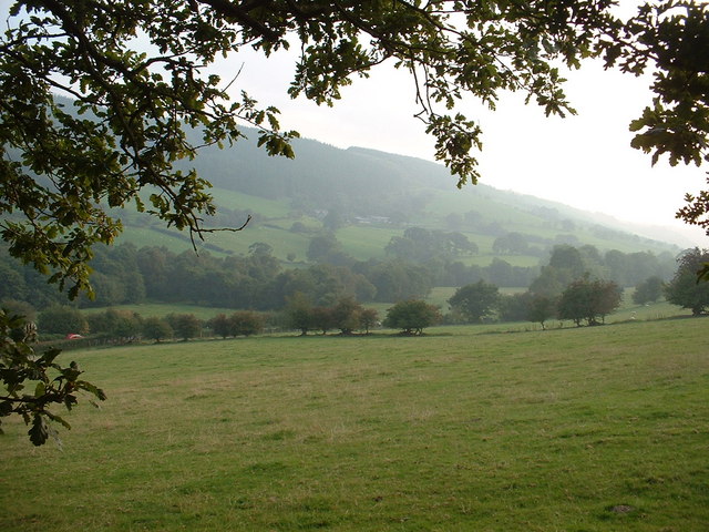
Image: © David Medcalf Taken: 16 Sep 2006
Looking south west. The A494 crosses, behind hedges, left to right - a car is just visible on the left.
Images are licensed for reuse under creativecommons.org/licenses/by-sa/2.0
Image Location


Leaflet Map data © OpenStreetMap
Latitude
52.96443
Longitude
-3.472441