Merchant's Hill Close houses, Pontnewynydd
Introduction
The photograph on this page of Merchant's Hill Close houses, Pontnewynydd by Jaggery as part of the Geograph project.
The Geograph project started in 2005 with the aim of publishing, organising and preserving representative images for every square kilometre of Great Britain, Ireland and the Isle of Man.

There are currently over 7.5m images from over 14,400 individuals and you can help contribute to the project by visiting https://www.geograph.org.uk
Merchant's Hill Close houses, Pontnewynydd
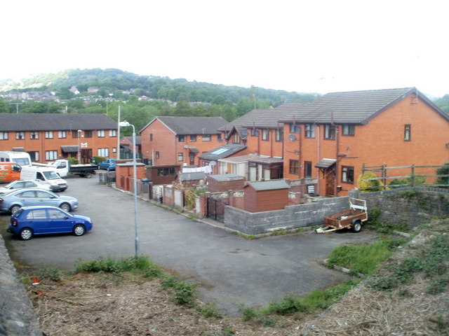
Image: © Jaggery Taken: 10 May 2011
Modern housing occupying land adjacent to now-lifted railway lines, viewed from Merchant's Hill bridge.http://www.geograph.org.uk/photo/2425363 Pontnewynydd railway station (closed in 1962) was nearby.
Images are licensed for reuse under creativecommons.org/licenses/by-sa/2.0
Image Location
Latitude
51.708419
Longitude
-3.052099