Dried out drainage channel west of Mundon
Introduction
The photograph on this page of Dried out drainage channel west of Mundon by David Kemp as part of the Geograph project.
The Geograph project started in 2005 with the aim of publishing, organising and preserving representative images for every square kilometre of Great Britain, Ireland and the Isle of Man.

There are currently over 7.5m images from over 14,400 individuals and you can help contribute to the project by visiting https://www.geograph.org.uk
Dried out drainage channel west of Mundon
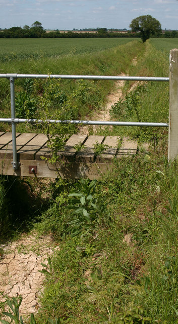
Image: © David Kemp Taken: 24 May 2011
Taken during a period of drought in May 2011.
Images are licensed for reuse under creativecommons.org/licenses/by-sa/2.0
Image Location
Latitude
51.688765
Longitude
0.684005