The Last House
Introduction
The photograph on this page of The Last House by Anne Burgess as part of the Geograph project.
The Geograph project started in 2005 with the aim of publishing, organising and preserving representative images for every square kilometre of Great Britain, Ireland and the Isle of Man.

There are currently over 7.5m images from over 14,400 individuals and you can help contribute to the project by visiting https://www.geograph.org.uk
The Last House
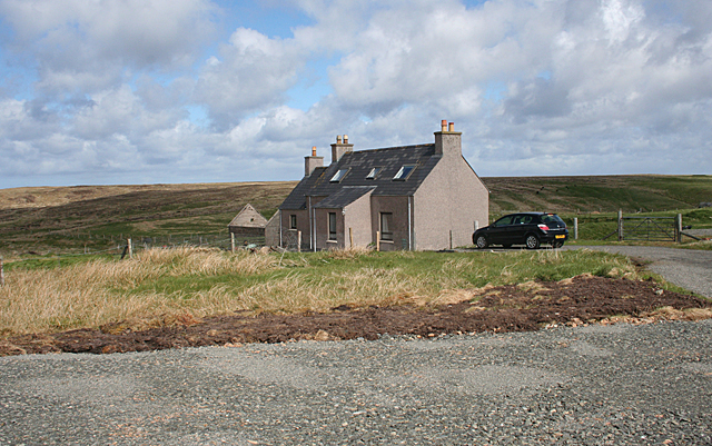
Image: © Anne Burgess Taken: 14 May 2011
In the foreground is part of the Tolsta Head Walk car park. The house is the last one before the open moorland which stretches to the cliffs.
Images are licensed for reuse under creativecommons.org/licenses/by-sa/2.0
Image Location


Leaflet Map data © OpenStreetMap
Latitude
58.340562
Longitude
-6.196989