Water Tower and Houses
Introduction
The photograph on this page of Water Tower and Houses by Oast House Archive as part of the Geograph project.
The Geograph project started in 2005 with the aim of publishing, organising and preserving representative images for every square kilometre of Great Britain, Ireland and the Isle of Man.

There are currently over 7.5m images from over 14,400 individuals and you can help contribute to the project by visiting https://www.geograph.org.uk
Water Tower and Houses
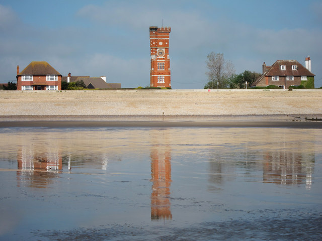
Image: © Oast House Archive Taken: 21 May 2011
Reflected in the standing water on the Romney Sands at low tide, a converted water tower on Madeira Road and two houses on Coast Road.
Images are licensed for reuse under creativecommons.org/licenses/by-sa/2.0
Image Location


Leaflet Map data © OpenStreetMap
Latitude
50.988502
Longitude
0.970022