Riverside recreation area, Pontnewynydd
Introduction
The photograph on this page of Riverside recreation area, Pontnewynydd by Jaggery as part of the Geograph project.
The Geograph project started in 2005 with the aim of publishing, organising and preserving representative images for every square kilometre of Great Britain, Ireland and the Isle of Man.

There are currently over 7.5m images from over 14,400 individuals and you can help contribute to the project by visiting https://www.geograph.org.uk
Riverside recreation area, Pontnewynydd
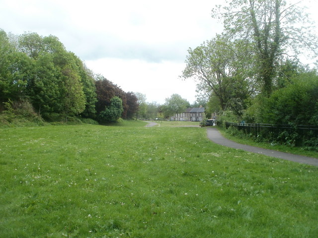
Image: © Jaggery Taken: 10 May 2011
The view SE towards Mill Road houses along a long, narrow recreation area on the east bank of the Afon Lwyd river.
Images are licensed for reuse under creativecommons.org/licenses/by-sa/2.0
Image Location
Latitude
51.71023
Longitude
-3.050694