Tolastadh (Tolsta)
Introduction
The photograph on this page of Tolastadh (Tolsta) by Anne Burgess as part of the Geograph project.
The Geograph project started in 2005 with the aim of publishing, organising and preserving representative images for every square kilometre of Great Britain, Ireland and the Isle of Man.

There are currently over 7.5m images from over 14,400 individuals and you can help contribute to the project by visiting https://www.geograph.org.uk
Tolastadh (Tolsta)
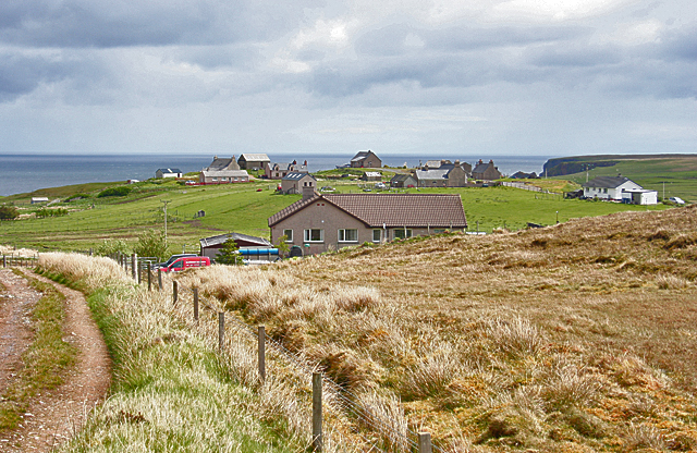
Image: © Anne Burgess Taken: 14 May 2011
The track here meets the B895 between Bail' Ur Tholastaidh (new Tolsta) to the north and Tolastadh bho Tuath (North Tolsta) to the south. The houses in the background are on Cnoc-Glas, and the distant cliff is part of Rubha Tholastaidh (Tolsta Head).
Images are licensed for reuse under creativecommons.org/licenses/by-sa/2.0
Image Location
Latitude
58.350799
Longitude
-6.219245