Lane off Lower Camden, BR7 (3)
Introduction
The photograph on this page of Lane off Lower Camden, BR7 (3) by Mike Quinn as part of the Geograph project.
The Geograph project started in 2005 with the aim of publishing, organising and preserving representative images for every square kilometre of Great Britain, Ireland and the Isle of Man.

There are currently over 7.5m images from over 14,400 individuals and you can help contribute to the project by visiting https://www.geograph.org.uk
Lane off Lower Camden, BR7 (3)
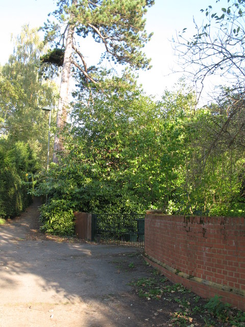
Image: © Mike Quinn Taken: 12 Oct 2010
The brick wall in the foreground (right) marks where the Kyd Brook passes under the road - see Image In the middle distance (left) is the Image
Images are licensed for reuse under creativecommons.org/licenses/by-sa/2.0
Image Location
Latitude
51.409536
Longitude
0.054505