Madresfield Road
Introduction
The photograph on this page of Madresfield Road by Bob Embleton as part of the Geograph project.
The Geograph project started in 2005 with the aim of publishing, organising and preserving representative images for every square kilometre of Great Britain, Ireland and the Isle of Man.

There are currently over 7.5m images from over 14,400 individuals and you can help contribute to the project by visiting https://www.geograph.org.uk
Madresfield Road
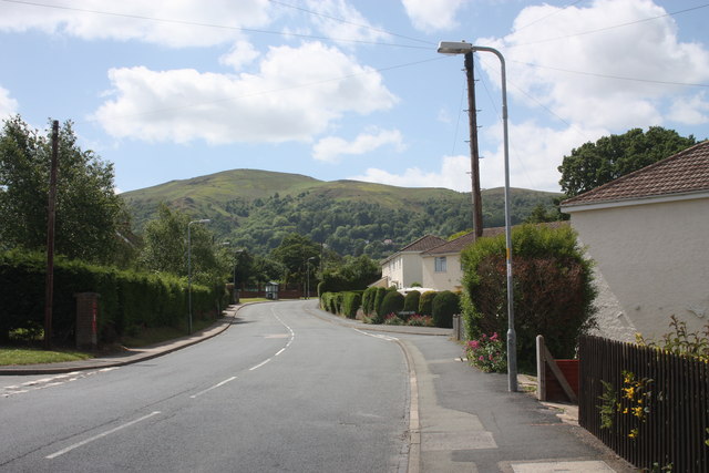
Image: © Bob Embleton Taken: 24 May 2011
The upper section, west of the Pickersleigh Road staggered junction. Looking towards the Worcestershire Beacon from opposite the junction with Cotswold Road. To the left is the small, post World War I development of council houses in Landsdowne Close. The semi-detached white rendered houses were part of the "land fit for heroes" post war social housing boom.
Images are licensed for reuse under creativecommons.org/licenses/by-sa/2.0
Image Location
Latitude
52.113254
Longitude
-2.313919