Top of Cavendish Road
Introduction
The photograph on this page of Top of Cavendish Road by Alan Murray-Rust as part of the Geograph project.
The Geograph project started in 2005 with the aim of publishing, organising and preserving representative images for every square kilometre of Great Britain, Ireland and the Isle of Man.

There are currently over 7.5m images from over 14,400 individuals and you can help contribute to the project by visiting https://www.geograph.org.uk
Top of Cavendish Road
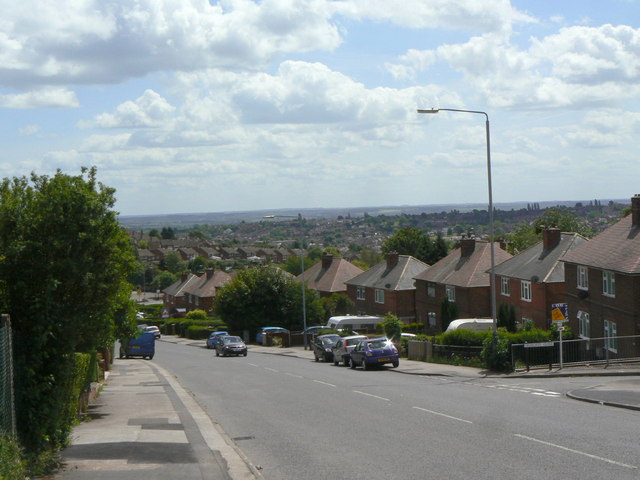
Image: © Alan Murray-Rust Taken: 24 May 2011
Taken specifically for comparison with the image in Domesday Reloaded http://www.bbc.co.uk/history/domesday/dblock/GB-460000-339000/picture/3 . The picture gives an excellent idea of the scenery of the D-block to which it is assigned, but in fact is located in the next D-block north. As a local resident, the location was immediately familiar. The view is virtually unchanged exact for a bit more green growth and one re-sited street lamp.
Images are licensed for reuse under creativecommons.org/licenses/by-sa/2.0
Image Location
Latitude
52.979248
Longitude
-1.102631