2011 : Trellick Way, near Harry Stoke
Introduction
The photograph on this page of 2011 : Trellick Way, near Harry Stoke by Maurice Pullin as part of the Geograph project.
The Geograph project started in 2005 with the aim of publishing, organising and preserving representative images for every square kilometre of Great Britain, Ireland and the Isle of Man.

There are currently over 7.5m images from over 14,400 individuals and you can help contribute to the project by visiting https://www.geograph.org.uk
2011 : Trellick Way, near Harry Stoke
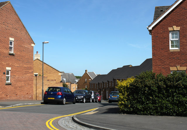
Image: © Maurice Pullin Taken: 2 May 2011
A modern development near the University of West of England.
Images are licensed for reuse under creativecommons.org/licenses/by-sa/2.0
Image Location
Latitude
51.495525
Longitude
-2.546901