Brent Hill
Introduction
The photograph on this page of Brent Hill by David Anstiss as part of the Geograph project.
The Geograph project started in 2005 with the aim of publishing, organising and preserving representative images for every square kilometre of Great Britain, Ireland and the Isle of Man.

There are currently over 7.5m images from over 14,400 individuals and you can help contribute to the project by visiting https://www.geograph.org.uk
Brent Hill
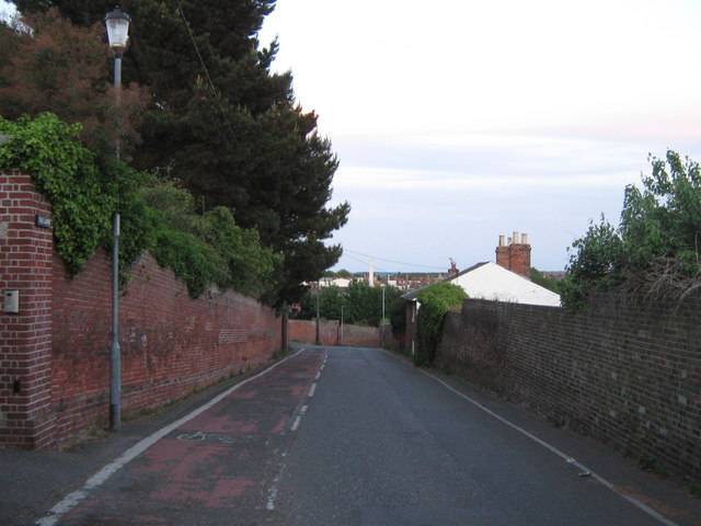
Image: © David Anstiss Taken: 21 May 2011
This road leads from Davington Hill to Brent Road. The cyclepath on the left is used by National Cycle Route 2 heading towards Faversham. It runs reverse to the car traffic, heading up the hill!
Images are licensed for reuse under creativecommons.org/licenses/by-sa/2.0
Image Location
Latitude
51.318616
Longitude
0.886814