Footpath Entrance, Lippitts Hill, High Beach
Introduction
The photograph on this page of Footpath Entrance, Lippitts Hill, High Beach by Roger Jones as part of the Geograph project.
The Geograph project started in 2005 with the aim of publishing, organising and preserving representative images for every square kilometre of Great Britain, Ireland and the Isle of Man.

There are currently over 7.5m images from over 14,400 individuals and you can help contribute to the project by visiting https://www.geograph.org.uk
Footpath Entrance, Lippitts Hill, High Beach
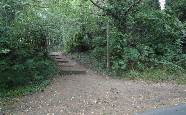
Image: © Roger Jones Taken: 23 May 2011
The path runs past some stables and farmland towards Ludgate Plain. Just up the Hill from Springfield Farm House.
Images are licensed for reuse under creativecommons.org/licenses/by-sa/2.0
Image Location


Leaflet Map data © OpenStreetMap
Latitude
51.653513
Longitude
0.019475