Cycle path at York racecourse
Introduction
The photograph on this page of Cycle path at York racecourse by Oliver Dixon as part of the Geograph project.
The Geograph project started in 2005 with the aim of publishing, organising and preserving representative images for every square kilometre of Great Britain, Ireland and the Isle of Man.

There are currently over 7.5m images from over 14,400 individuals and you can help contribute to the project by visiting https://www.geograph.org.uk
Cycle path at York racecourse
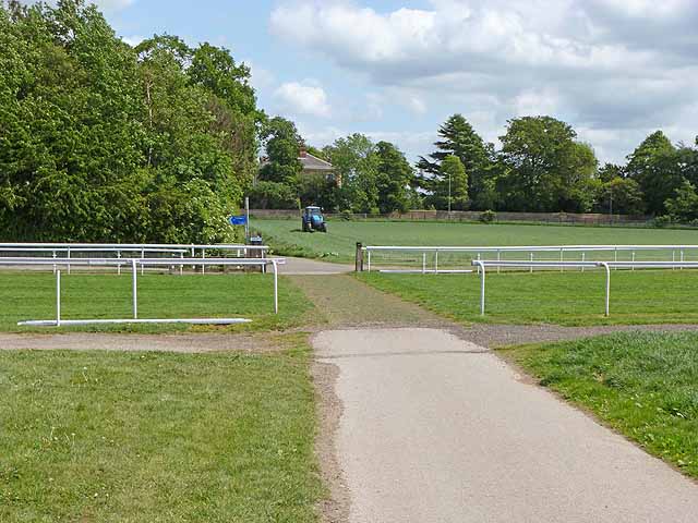
Image: © Oliver Dixon Taken: 19 May 2011
York has probably the best facilities for cyclists of any city in Britain. This shows a section of path where it crosses York racecourse. This section of path is followed by both National Cycle Network route 65 and the Trans-Pennine Trail.
Images are licensed for reuse under creativecommons.org/licenses/by-sa/2.0
Image Location
Latitude
53.930996
Longitude
-1.092701