Turnpike Buildings
Introduction
The photograph on this page of Turnpike Buildings by Robin Webster as part of the Geograph project.
The Geograph project started in 2005 with the aim of publishing, organising and preserving representative images for every square kilometre of Great Britain, Ireland and the Isle of Man.

There are currently over 7.5m images from over 14,400 individuals and you can help contribute to the project by visiting https://www.geograph.org.uk
Turnpike Buildings
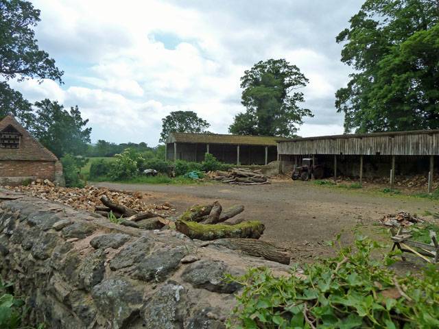
Image: © Robin Webster Taken: 23 May 2011
The original purpose of this old yard is unknown - not looking quite like a typical farmyard, and with an odd name. It is clear what it is used for now - logs for fuel. The tractor engine was running and somebody behind it in the gloom was doing something that did not involve sawing - possibly splitting logs.
Images are licensed for reuse under creativecommons.org/licenses/by-sa/2.0
Image Location
Latitude
50.957528
Longitude
-0.540829