River Rother valley and route of closed footpath
Introduction
The photograph on this page of River Rother valley and route of closed footpath by Andrew Hill as part of the Geograph project.
The Geograph project started in 2005 with the aim of publishing, organising and preserving representative images for every square kilometre of Great Britain, Ireland and the Isle of Man.

There are currently over 7.5m images from over 14,400 individuals and you can help contribute to the project by visiting https://www.geograph.org.uk
River Rother valley and route of closed footpath
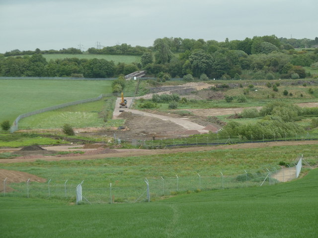
Image: © Andrew Hill Taken: 23 May 2011
Looking across the valley from the A61 at the start of the footpath which is closed due to extensive workings - only the edge of these can be seen in the picture. The railway footbridge can be clearly seen.
Images are licensed for reuse under creativecommons.org/licenses/by-sa/2.0
Image Location
Latitude
53.211176
Longitude
-1.423026