Levisham
Introduction
The photograph on this page of Levisham by Stephen Horncastle as part of the Geograph project.
The Geograph project started in 2005 with the aim of publishing, organising and preserving representative images for every square kilometre of Great Britain, Ireland and the Isle of Man.

There are currently over 7.5m images from over 14,400 individuals and you can help contribute to the project by visiting https://www.geograph.org.uk
Levisham
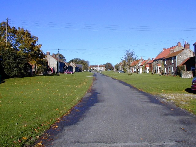
Image: © Stephen Horncastle Taken: 26 Oct 2002
Levisham is set high above the surrounding farmland. A wood runs east, west across the lower area of the square where the ruin of St Mary's church nestles.
Images are licensed for reuse under creativecommons.org/licenses/by-sa/2.0
Image Location


Leaflet Map data © OpenStreetMap
Latitude
54.30368
Longitude
-0.72107